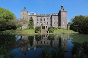
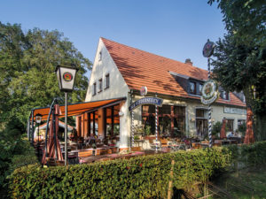
NiederRheinroute
ViersenBetween Emmerich am Rhein in the north and Übach-Palenberg in the south, cyclists can travel along over a stretch of more than 2,000 kilometres along Germany’s longest cycle path network. And all without too much effort, since the country is flat here, the routes are well signposted, and the paths are nearly always tarmacked. The Lower Rhine Route, (“NiederRheinroute”) passes along fields and forests, and over dykes and dams along the Rhine, taking you through beautiful and above all varying landscapes. The route along the main cycle path is easy to identify by the blue strip that symbolises the Rhine, as well as the red tip. The subsidiary routes are marked by a blue strip with a green tip.
![]()
Map material about the Online-Shop Naturpark Schwalm-Nette
Contact
NiederRheinroute
Niederrhein Tourismus GmbH
Willy-Brandt-Ring 13
41747 Viersen
+49 (0) 21 62 81 7903
info@niederrhein-tourismus.de
www.radroutenplaner.nrw.de
More information
Track length:1.215 km main route,
820 km side routes
All places in the region Niederrhein
Bookable package:
www.2-land-reisen.de/radreisen.html